Radar coverage analysisKnow what your radar will see.
Ground and 3D air coverage for surveillance radar, computed over real terrain. Plan the mast, find the blind spots and check the layout before anyone visits the site.
10 simulations per month free. No card, no subscription. Packs from £50 when you need more.
- Ground
- Pd map over terrain
- Air
- 3D field to altitude
- Section
- Range × altitude
- Layout
- Multi-radar networks
The workspace
Real runs over real terrain.
Every image here is a screenshot of Axiorad, taken from runs on the live platform. No renders, no mock-ups.
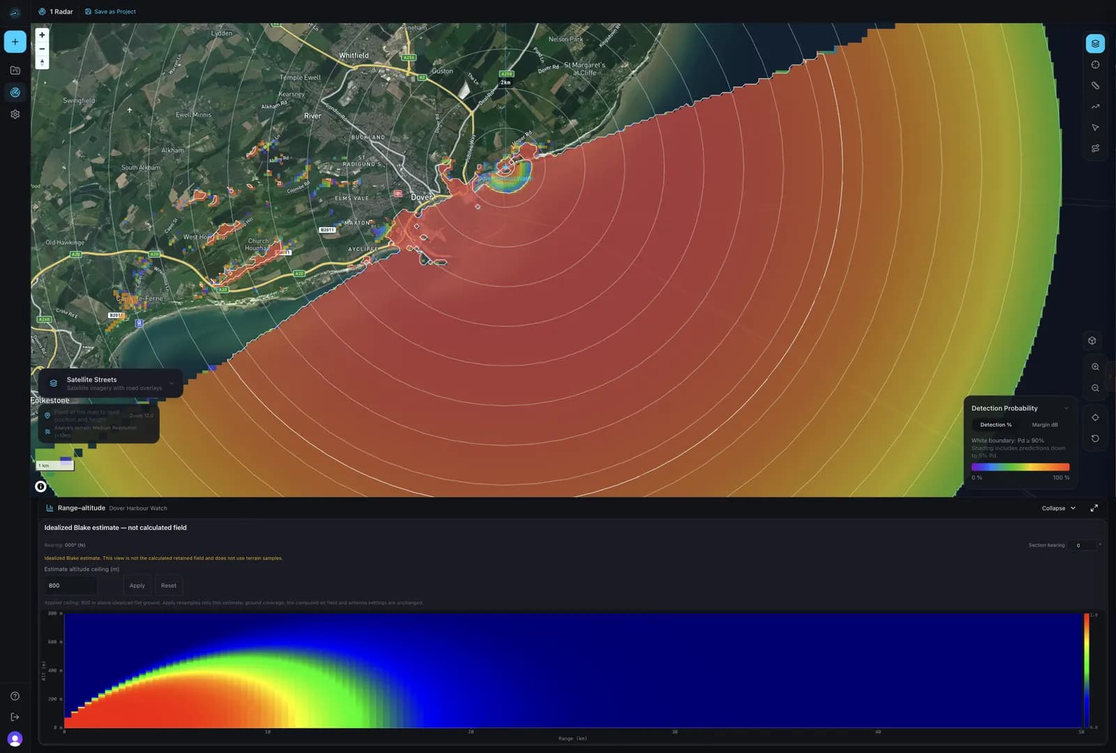
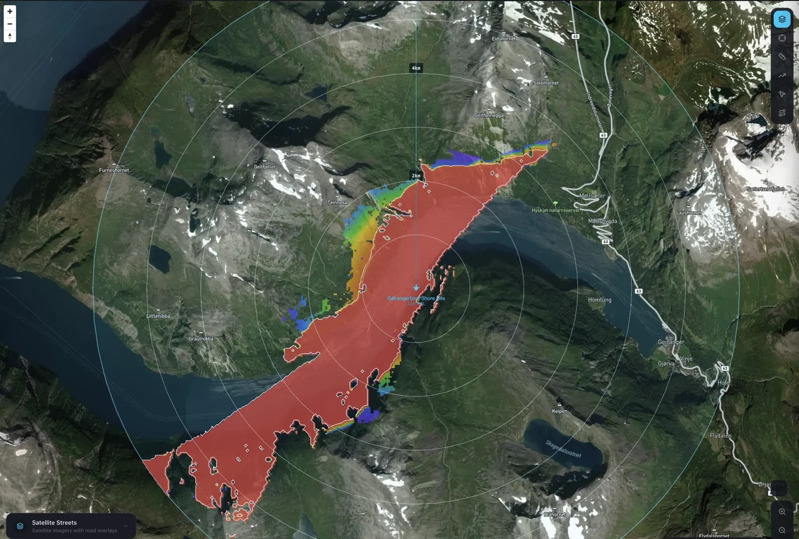
1 / 5 · Dover Strait, United Kingdom
Coastal surveillance
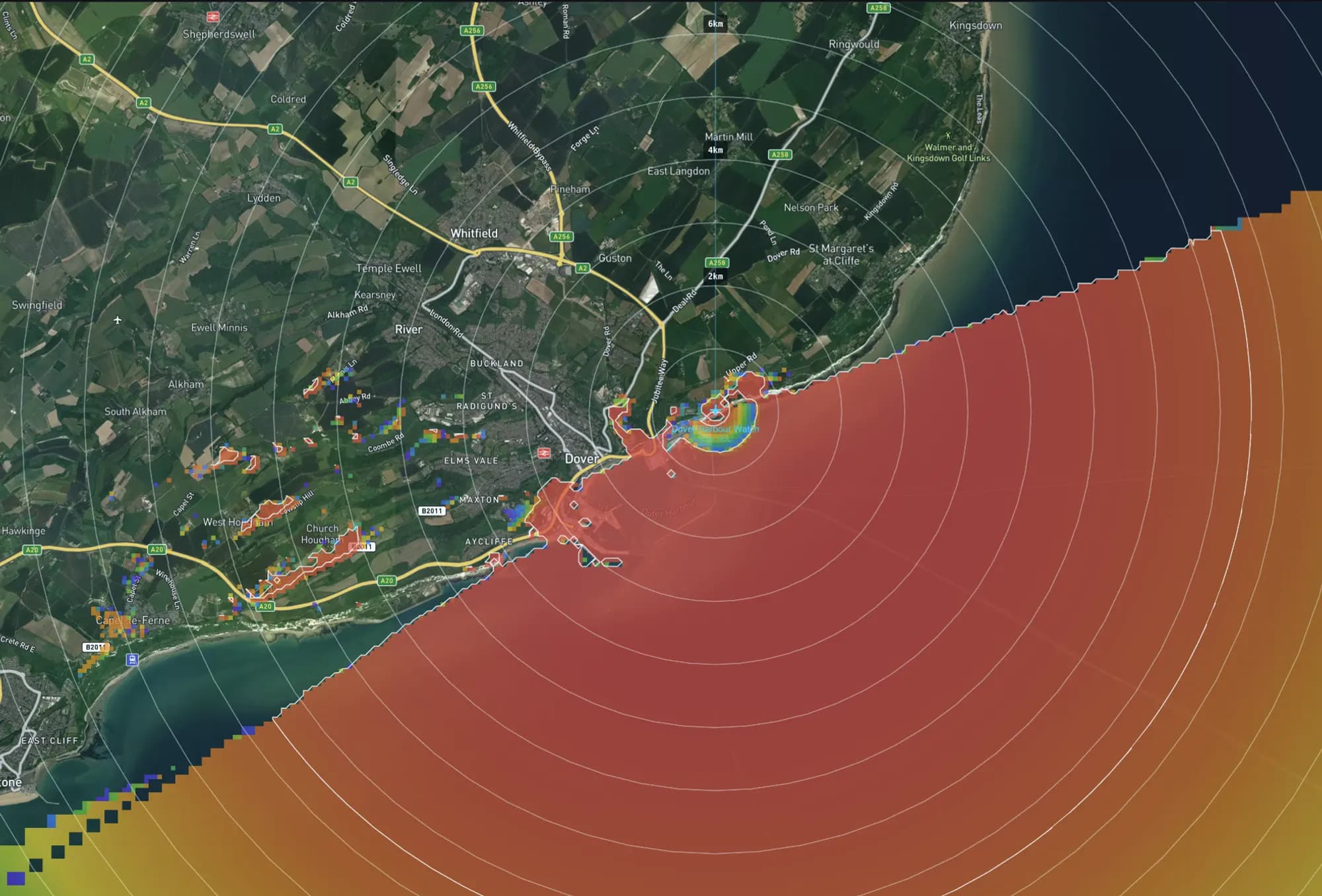
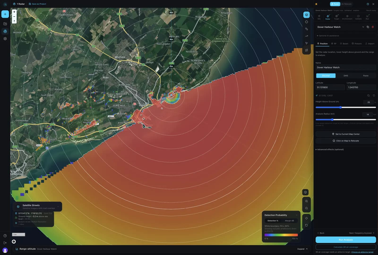
Detection probability over the sea from a 25 m cliff-top site. The configuration column holds the radar's position, mast height and analysis radius.
Showing 1 of 5: Coastal surveillance, Dover Strait, United Kingdom
Airborne targets
Drones fly. Coverage should too.
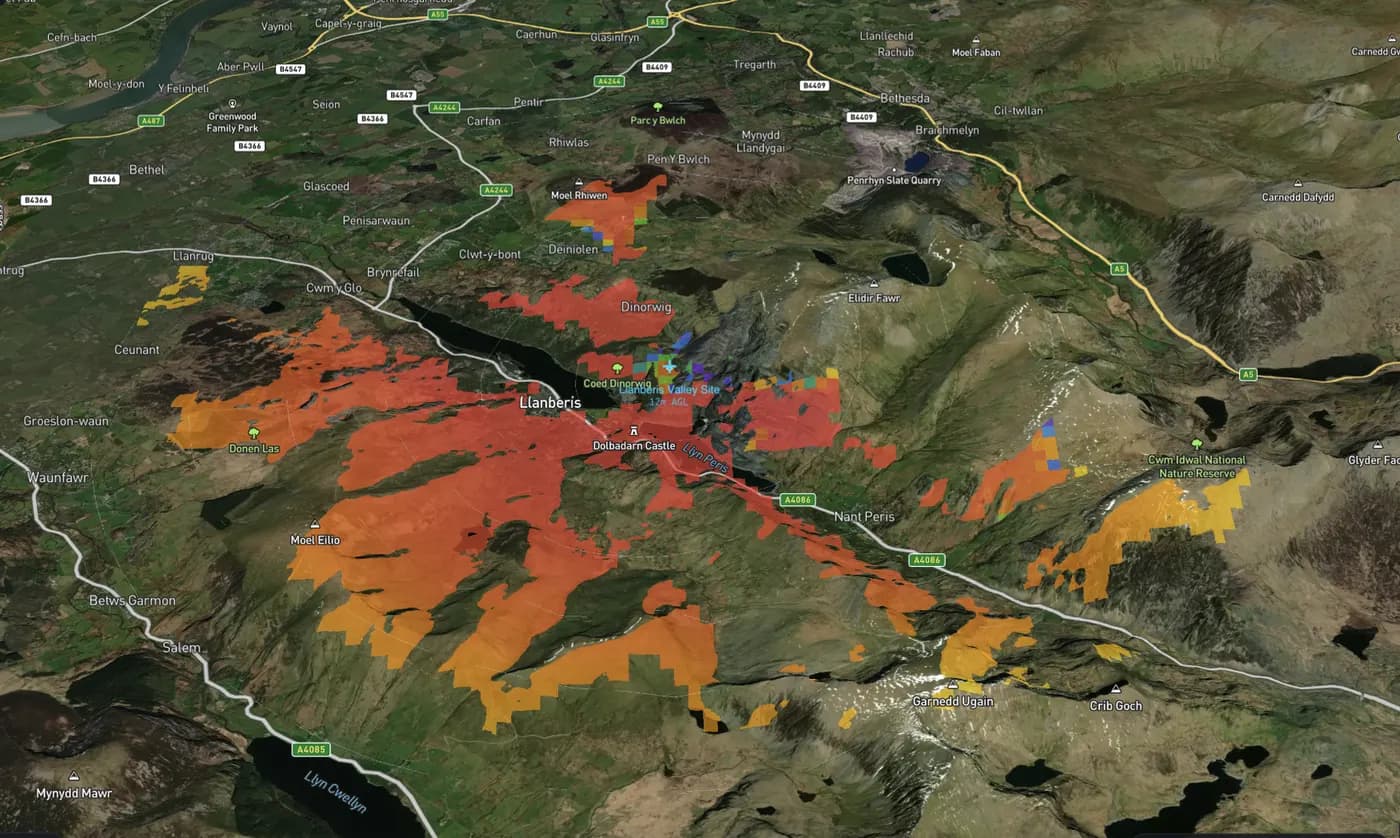
3D air coverage
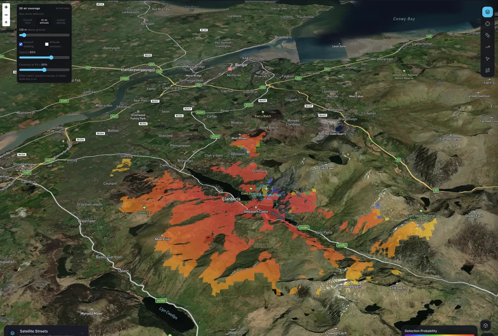
Compute detection over the terrain at the altitude the target flies, then read it as a slice, a lowest detectable altitude map or a range–altitude section.
- Air models
- Ground ITM or ITU-R P.528
- Views
- Ground, altitude slice, lowest altitude
- Targets
- Small to large drones, birds, aircraft
Surface targets
Every ridge accounted for.
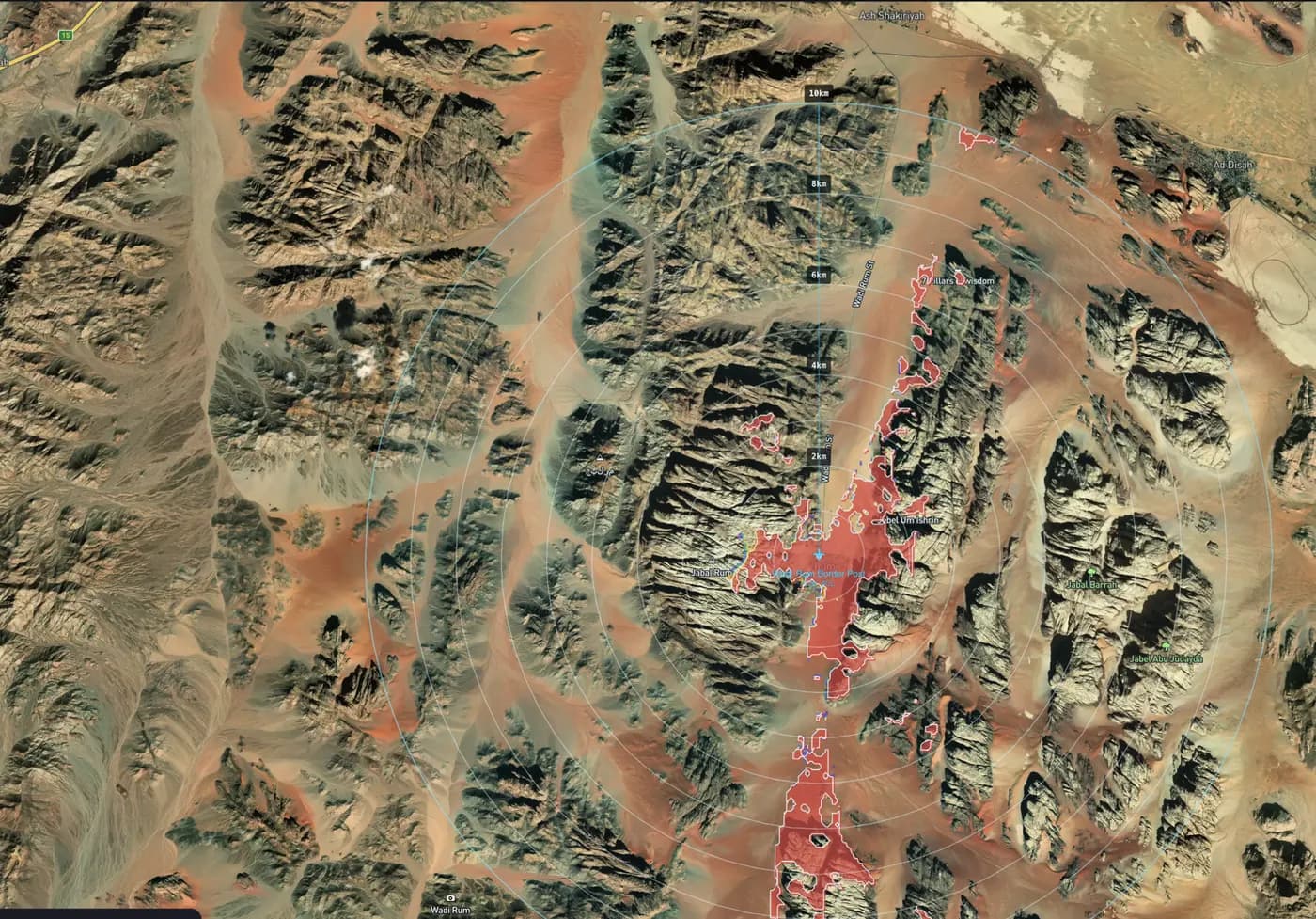
Terrain-aware detection
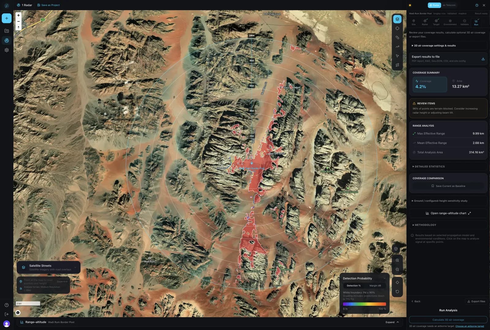
Each cell gets a path profile from the radar over real elevation, so masking by ridges, dunes and valley walls shows up as gaps in the map rather than as surprises on site.
- Propagation
- ITM · ITU-R P.1812-6 · COST-231 Hata
- Detection
- Albersheim · Shnidman, Swerling 0–4
- Elevation
- SRTM 30 m · Mapbox · Google
- Targets
- People, vehicles, vessels
Method
Published models. No black box.
The models are published standards, documented in the methodology, so an engineer can check the working rather than trust a colour on a map.
Propagation
Longley-Rice ITM and ITU-R P.1812-6 over the terrain profile, ITU-R P.526 diffraction, and ITU-R P.528 for air paths.
Environment
Rain attenuation to ITU-R P.838 and P.839, atmospheric gases to ITU-R P.676, and foliage loss.
Detection
Albersheim and Shnidman detection probability for Swerling 0–4 targets, at the false-alarm rate you set.
Planning estimates, not guarantees. Compare one result with your radar's datasheet range before relying on a layout.
Read the methodologyPricing
Pay for simulations, not subscriptions.
Every account gets 10 simulations per month. When you run out, buy a simulation pack with a one-time payment. No subscription, no renewal, and paid simulations never expire. One simulation is one radar coverage calculation.
Free
Every month, no card required
10 simulations per month
- Full simulation engine
- Draft PDF report with watermark
- Resets on the 1st of each month
25 simulations
For a single project
£2 per simulation
- Final PDF reports
- KMZ, GeoJSON, GeoTIFF and CSV exports
- Simulations never expire
100 simulations
For repeated studies
£1.50 per simulation
- Final PDF reports
- KMZ, GeoJSON, GeoTIFF and CSV exports
- Simulations never expire
| Feature | Free simulation | Paid simulation |
|---|---|---|
| Coverage simulation (all propagation models) | ||
| PDF report | Draft, watermarked | Final, no watermark |
| KMZ / KML, GeoJSON, GeoTIFF, CSV exports | ||
| Saved projects | 1 | Unlimited |
| Radars per project | 3 | Unlimited |
| High-resolution terrain | Limited |
A free simulation can be upgraded later with one paid simulation to unlock its exports. Invite a colleague from your billing settings: when they run their first simulation, you both get 5 paid simulations. Prices are in GBP. Organisations needing invoicing, volume or on-premise terms can contact us.
Put a radar on the map.
Place a site, choose a target and run it in your browser. 10 simulations per month free, with no card and no subscription.